Infrastructure
These days, civil infrastructure is developing at tremendous speed, moving towards urbanization with the complexity of objects constantly increasing.
Civil Engineering services and Infrastructure systems involve the design, analysis, and management of infrastructure supporting human activities, including, for example, electric power, oil and gas, water and wastewater, communications, transportation, and the collections of buildings that make up urban and rural communities. These networks deliver essential services, provide shelter, and support social interactions and economic development. They are the lifelines of society, and the backbone of the economy of any country.
Customers
Below is a small selection of companies that use our products.
Transportation
- Sweco
- Indra Sistemas
- Goldschmidt
- Ramboll
- NCDOT
- Vanderlande
- Railup
- Larsen & Toubro
- Sina
Utilities
- General Atomic
- Korea Atomic Energy Research Institute
- Siemens Gamesa
- EPRI
- NOV IntelliServ
- Institute of Nuclear Energy Research
- Diamond Light Source
Oil & Gas, Offshore
- DeepSoft
- JDR Cable Systems
- Samsung Engineering
- Insight Numerics
- Cybermarine Technologies
- Heerema Marine Contractors
- Saipem
- Gaztransport & Technigaz
Marine
- Lloyd's Register
- EGS Survey
- CETENA
- American Bureau of Shipping
- Hidromod
Mining
- Ochir-Undraa
- Orica
- GroundProbe
- Rocscience
- Blast Movement Technologies
Surveying
- Aerometrex
- Geodata
- Siteco
ITC
- Ericsson
- Xator
- Accenture
FAQ
Yes, when you load the DWG file in the Drawing workspace, layouts are available under the Drawing.Sheets property.
Want to see our products in action?
Watch the Made with Eyeshot videos playlist
Code Samples
Below is a selection of code samples related to these industrial sectors.
CompareDWG
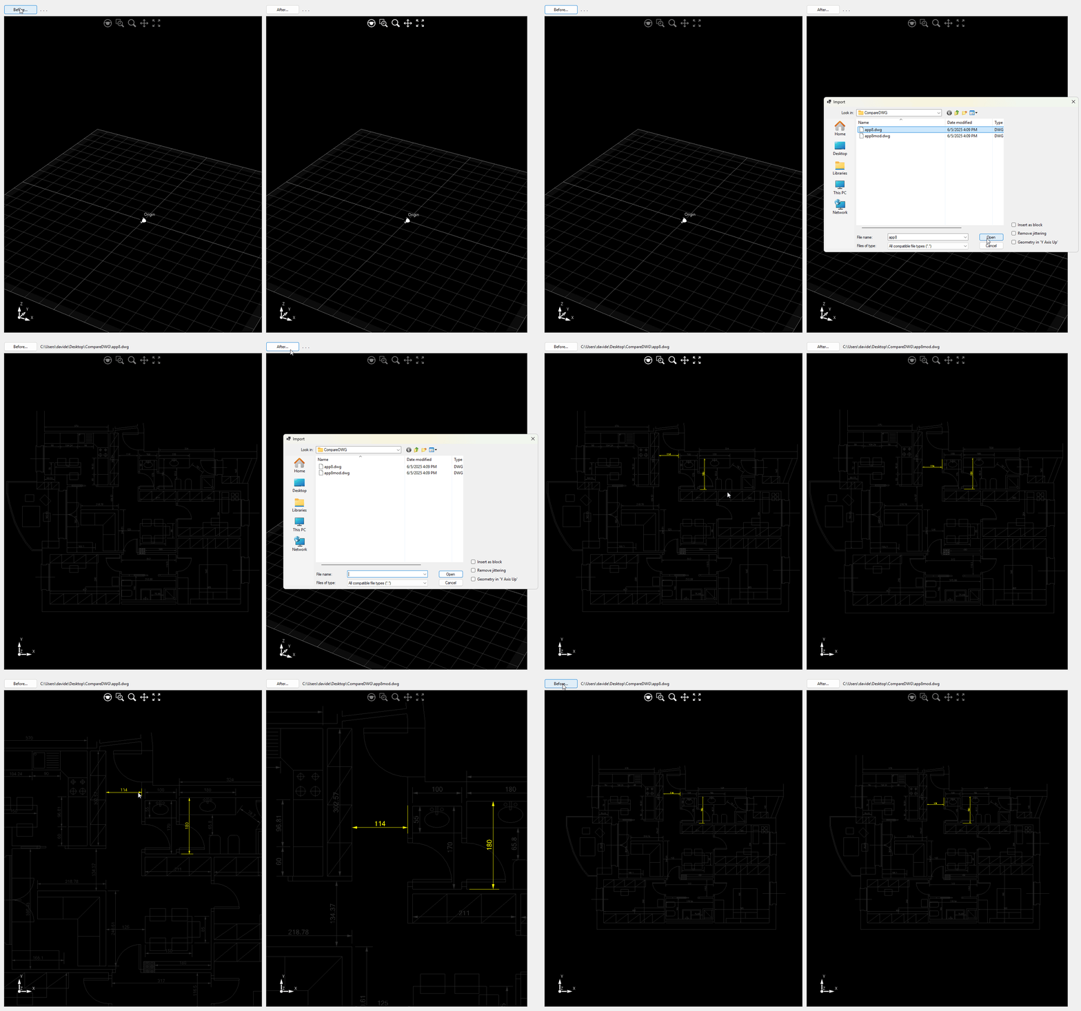
This sample explains how to compare entities of two 2D drawings and how to keep independent Design controls cameras in sync.
DraftingDemo
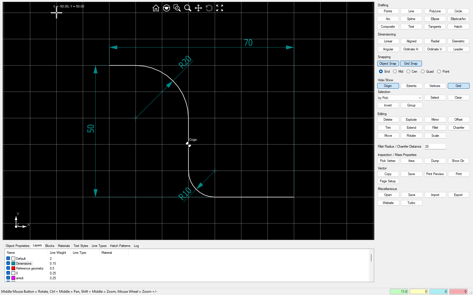
This sample demonstrates how to create interactive 2D curves and dimensions. It serves as a great foundation for building a 2D CAD system. The example also covers curve trim, extension, fillet, and chamfer. Starting from version 12, this example supports import/export from DWG/DXF and export to the 3D PDF file format. Video1
Globe
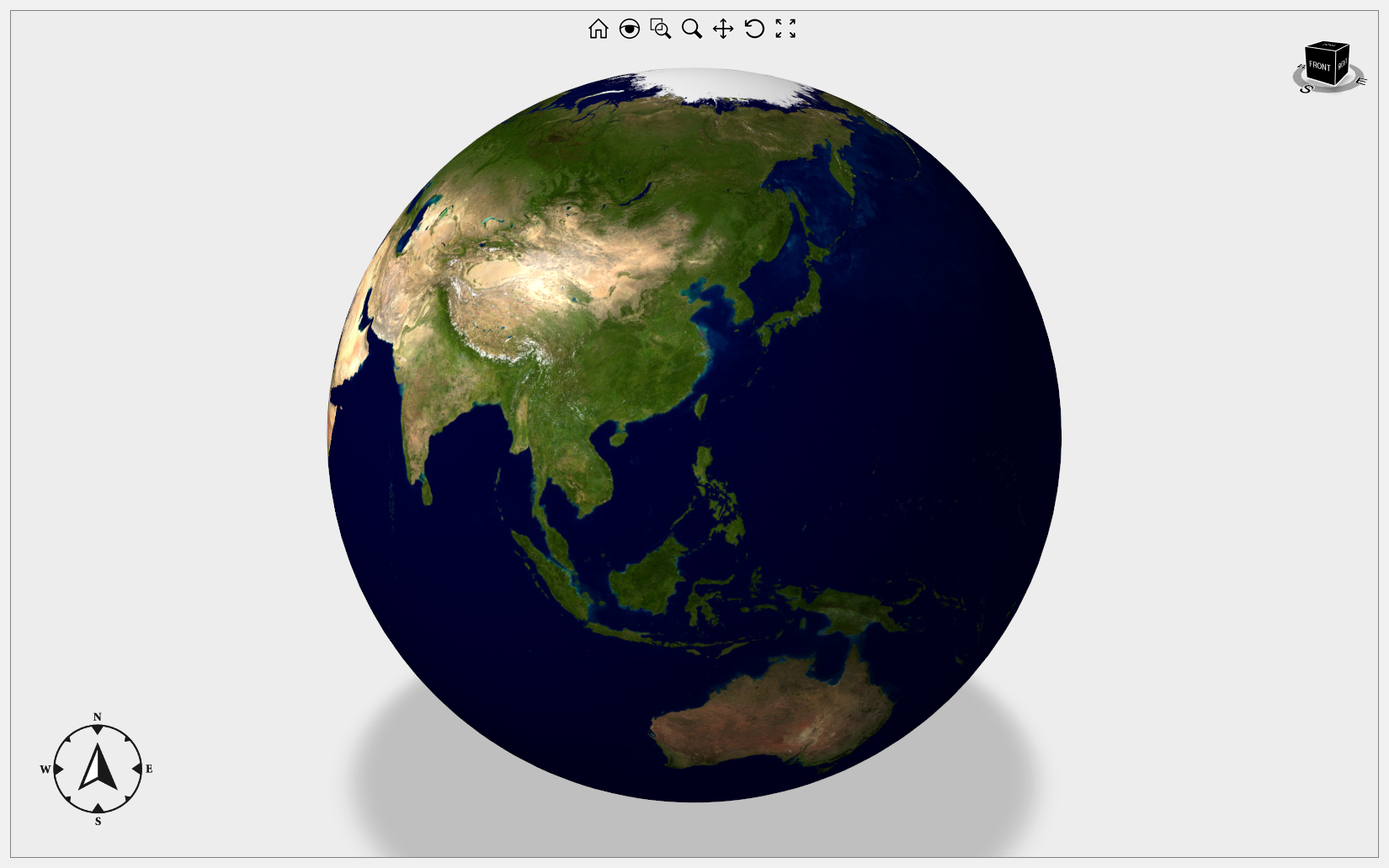
This sample demonstrates how to create a globe model using the Mesh.CreateSphere() static method. It also utilizes the Mesh.ApplyMaterial() method to apply the material texture spherically. Additionally, it showcases how to rotate the scene using a compass UI element.
Layers
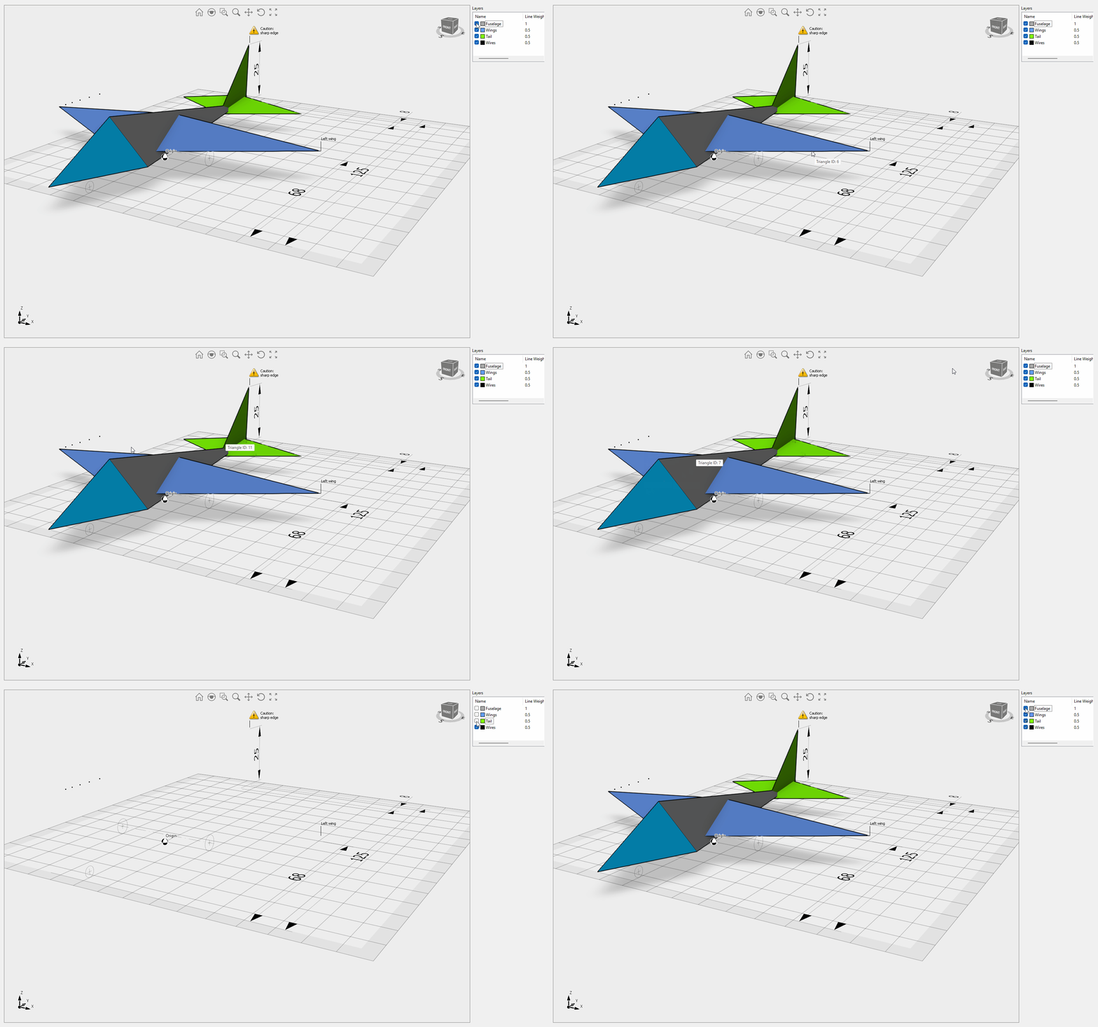
This sample explains how to work with layers. It also includes the code to use the ImageOnly label and tooltips support: when hovering over an entity, the entity index is displayed.
SelectPoints
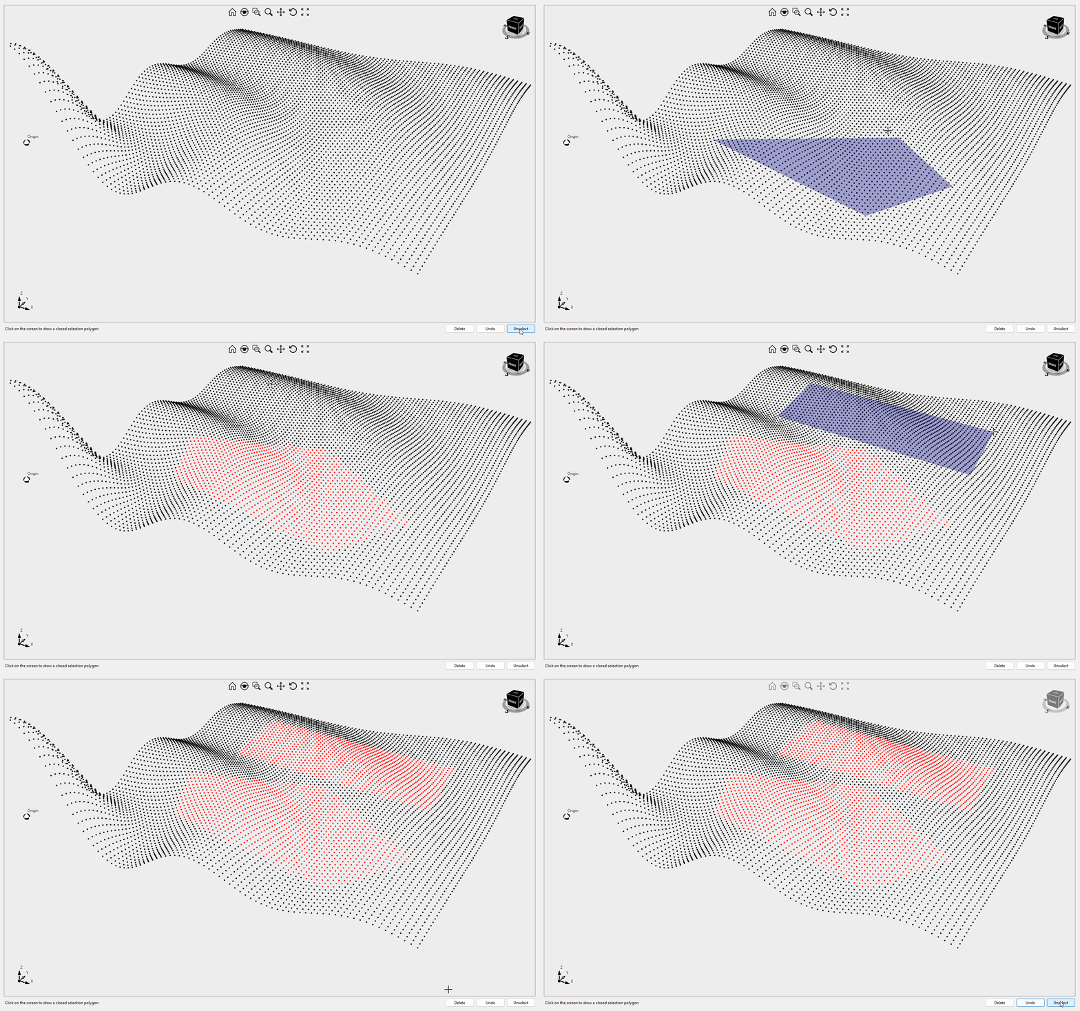
This sample demonstrates how to implement a custom selection method on a FastPointCloud entity, including the Undo and Unselect commands.
